What do you want to see?
Day trip · The Krk Map
Učka Nature Park: Vojak and Vela draga
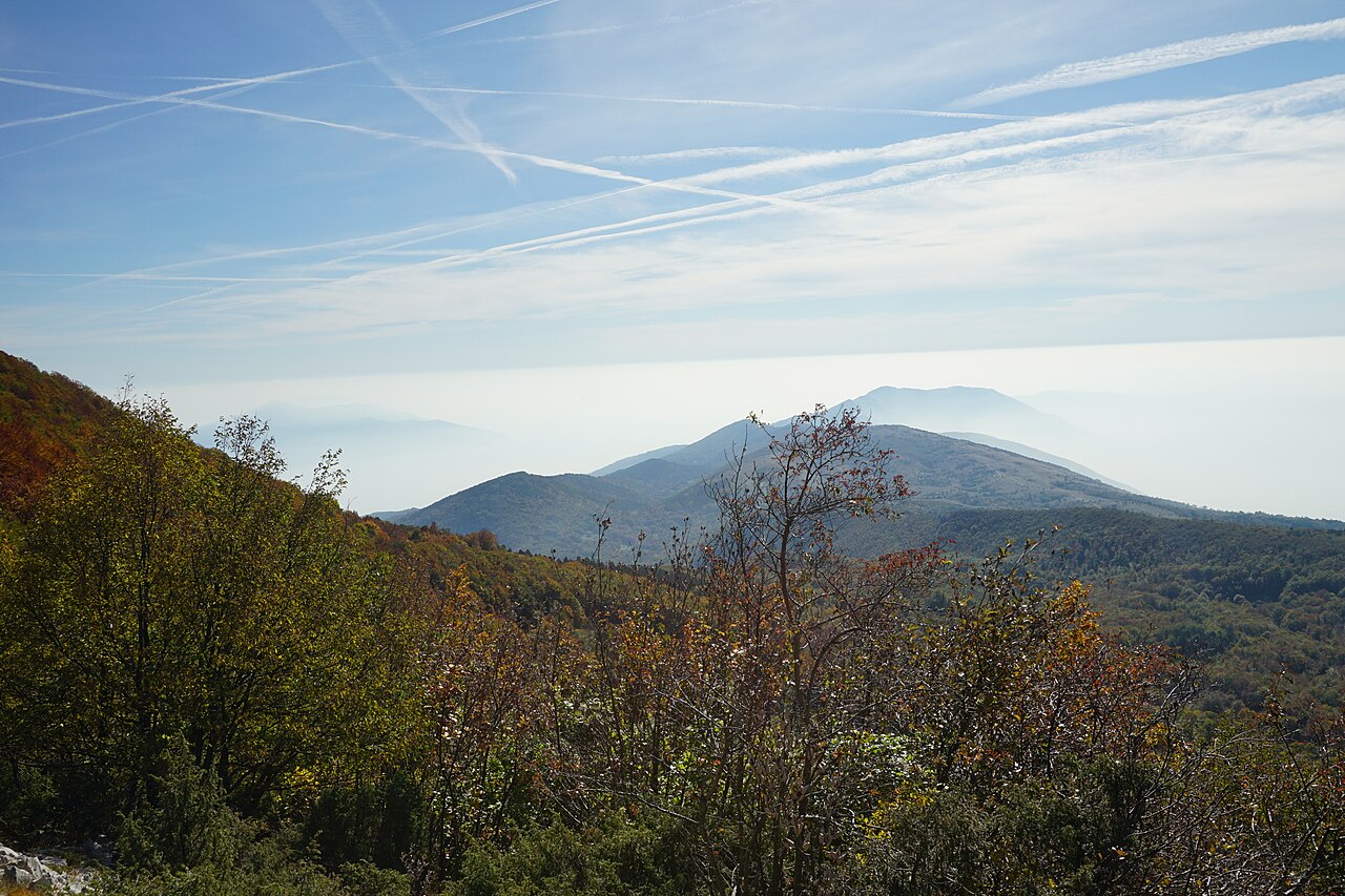
The mountain above Opatija: a shaded walk to a 1911 stone tower with the whole Kvarner below.
Open this guide on The Krk Map
Učka is the mountain wall behind the Opatija Riviera: a pass at 930 m, a mostly shaded path to the 1,401 m summit and a stone tower from 1911 that looks out over Kvarner. You can't drive to the top: you walk, or take the park's van. Pair it with lunch in Volosko for a well-balanced day off Krk.
When to come: April–October; clear, post-bura days for the view. Summer mornings for the heat escape.
What to do
Start at the Poklon visitor centre (930 m)
The nature park's centre in a restored farmhouse on the pass: a multimedia exhibition, a coffee bar and the park's own parking.
- Where
- Poklon pass
- When
- Morning; clear days after bura are the ones with a view
- Time
- 30–45 min
- How
- About 92 min by car from Vrbnik or 103 min from Stara Baška, via Opatija and Veprinac. Parking EUR 8 a day April–October, EUR 5 in winter (2026).
Tip: Check the forecast for low cloud: fog can hide everything above Poklon.
Walk up to Vojak (1,401 m), down by the Plas trail
The 1911 stone lookout tower on the highest point of the Istrian peninsula, reached by a marked, mostly shaded forest path from Poklon.
- Where
- Vojak summit
- When
- Start by 09:30 in summer; spring and autumn all day
- Time
- About 1.5 h up, 1 h 20 min down via Plas; a 3–3.5 h loop (about 9 km)
- How
- From the Poklon car park. Non-walkers: the park's van from Poklon to Vojak (EUR 5 return, 2026).
Tip: In July and August this is the cool answer: the path is shaded most of the way, and there are refreshments at the tower.
Don't plan to drive to the summit
The last stretch of road to Vojak is single-lane and signed for permit holders only.
- Where
- Road from Poklon to Vojak
- When
- Always
- How
- Walk, or take the park van.
Tip: Ask at the Poklon visitor centre when the park's van runs.
Look down into the Vela draga canyon
A karst canyon of rock towers on the Istrian side, a protected geomorphological monument with 67 climbing routes. Viewpoints on the Land Art trail look over it.
- Where
- Upper viewpoint (Gornji vidikovac)
- When
- Any time of day.
- Time
- 1 h
- How
- Follow the marked sections of the Land Art trail from Poklon, or the park's Vela Draga educational trail.
Tip: A big view for anyone who won't do the Vojak climb.
A half day here
- Leave at 08:00, Poklon by 09:30, walk to Vojak and back down the Plas trail, lunch at Dopolavoro or drive down to Volosko.
Where to eat and drink
- Plavi Podrum: The classic follow-on lunch, 29 min down
- Konoba Pescaria: Bib Gourmand (2026) fish on the Lovran side
Practical
Fees
Parking EUR 8 a day April–October (EUR 5 in winter); exhibition EUR 10 for adults April–October; van to Vojak EUR 5 return (2026).
Road closures
The Poklon road closes for events such as the Učka cycling race; the park posts notices.
Watch out
- Fog can hide the view entirely; check a webcam or forecast.
- Strong bura on the exposed summit.
- The last stretch of road to Vojak has a barrier signed for permit holders: walk up or take the park's van.
Curated by Benjamin Haller and our guests · Facts checked 31 Oct 2026 · How this map is made
The Krk Map is made by Marim Luxury Villas, a family company that hosts guests in Stara Baška and Vrbnik. No place pays to be on it; partners and our curators’ own offers are marked. Our villas